5fish
Well-Known Member
- Joined
- Jul 28, 2019
- Messages
- 14,789
- Reaction score
- 5,466
Yes, again, another great accomplishment of our nation in the 20th century was used to promote segregation in our cities both North and South... Here an article about how Atlanta is stunted by gridlock because the highways were used to keep the city segregated... Here in Orlando I-4 was used to segregate history black westside from downtown Orlando... In the recent decades the City has been building Stadiums, Federal buildings, Colleges, and other government building on the westside of I-4 moving the cities black population further to the southwest.

 www.nytimes.com
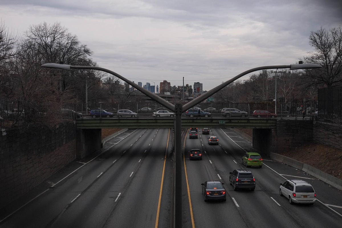
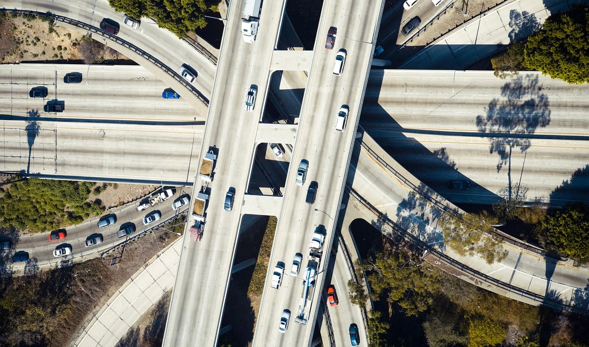
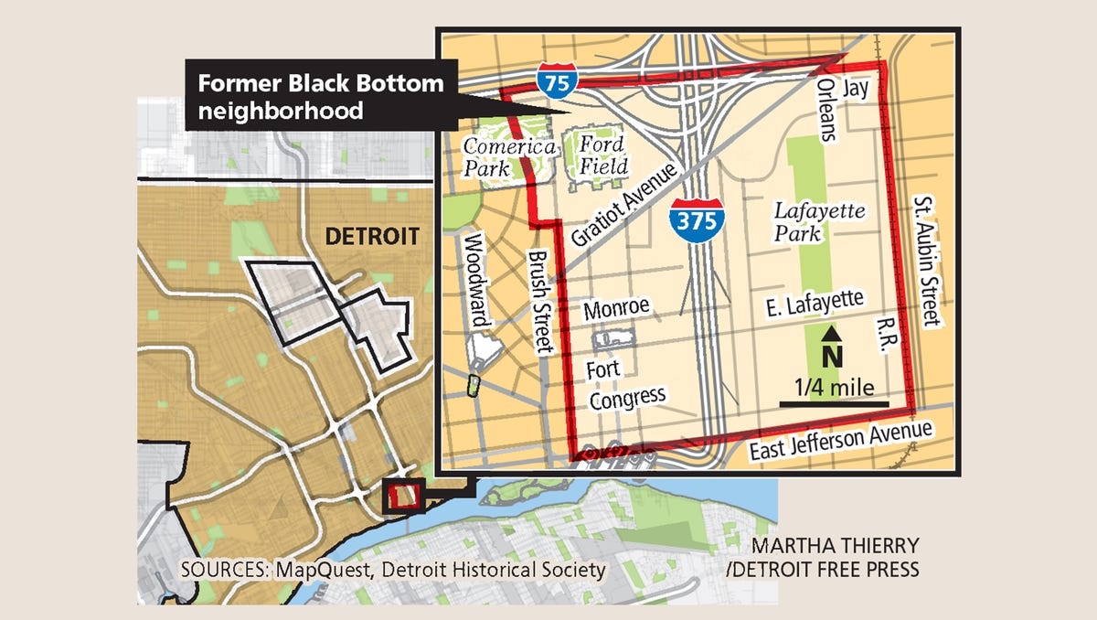
This intertwined history of infrastructure and racial inequality extended into the 1950s and 1960s with the creation of the Interstate highway system. The federal government shouldered nine-tenths of the cost of the new Interstate highways, but local officials often had a say in selecting the path. As in most American cities in the decades after the Second World War, the new highways in Atlanta — local expressways at first, then Interstates — were steered along routes that bulldozed “blighted” neighborhoods that housed its poorest residents, almost always racial minorities. This was a common practice not just in Southern cities like Jacksonville, Miami, Nashville, New Orleans, Richmond and Tampa, but in countless metropolises across the country, including Chicago, Cincinnati, Denver, Detroit, Indianapolis, Los Angeles, Milwaukee, Pittsburgh, St. Louis, Syracuse and Washington.
snip...
While Interstates were regularly used to destroy black neighborhoods, they were also used to keep black and white neighborhoods apart. Today, major roads and highways serve as stark dividing lines between black and white sections in cities like Buffalo, Hartford, Kansas City, Milwaukee, Pittsburgh and St. Louis. In Atlanta, the intent to segregate was crystal clear. Interstate 20, the east-west corridor that connects with I-75 and I-85 in Atlanta’s center, was deliberately plotted along a winding route in the late 1950s to serve, in the words of Mayor Bill Hartsfield, as “the boundary between the white and Negro communities” on the west side of town. Black neighborhoods, he hoped, would be hemmed in on one side of the new expressway, while white neighborhoods on the other side of it would be protected. Racial residential patterns have long since changed, of course, but the awkward path of I-20 remains in place.

How Segregation Caused Your Traffic Jam (Published 2019)
In some of America’s most congested cities, roadways were designed to keep people “in their place.”
This intertwined history of infrastructure and racial inequality extended into the 1950s and 1960s with the creation of the Interstate highway system. The federal government shouldered nine-tenths of the cost of the new Interstate highways, but local officials often had a say in selecting the path. As in most American cities in the decades after the Second World War, the new highways in Atlanta — local expressways at first, then Interstates — were steered along routes that bulldozed “blighted” neighborhoods that housed its poorest residents, almost always racial minorities. This was a common practice not just in Southern cities like Jacksonville, Miami, Nashville, New Orleans, Richmond and Tampa, but in countless metropolises across the country, including Chicago, Cincinnati, Denver, Detroit, Indianapolis, Los Angeles, Milwaukee, Pittsburgh, St. Louis, Syracuse and Washington.
snip...
While Interstates were regularly used to destroy black neighborhoods, they were also used to keep black and white neighborhoods apart. Today, major roads and highways serve as stark dividing lines between black and white sections in cities like Buffalo, Hartford, Kansas City, Milwaukee, Pittsburgh and St. Louis. In Atlanta, the intent to segregate was crystal clear. Interstate 20, the east-west corridor that connects with I-75 and I-85 in Atlanta’s center, was deliberately plotted along a winding route in the late 1950s to serve, in the words of Mayor Bill Hartsfield, as “the boundary between the white and Negro communities” on the west side of town. Black neighborhoods, he hoped, would be hemmed in on one side of the new expressway, while white neighborhoods on the other side of it would be protected. Racial residential patterns have long since changed, of course, but the awkward path of I-20 remains in place.


