5fish
Well-Known Member
- Joined
- Jul 28, 2019
- Messages
- 10,711
- Reaction score
- 4,559
I was trying to find the highest elevation that a battle took place during the civil war... I found this...
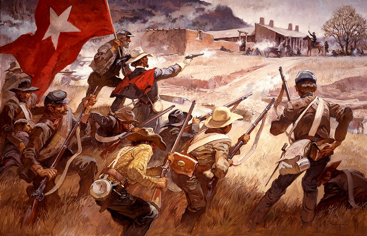
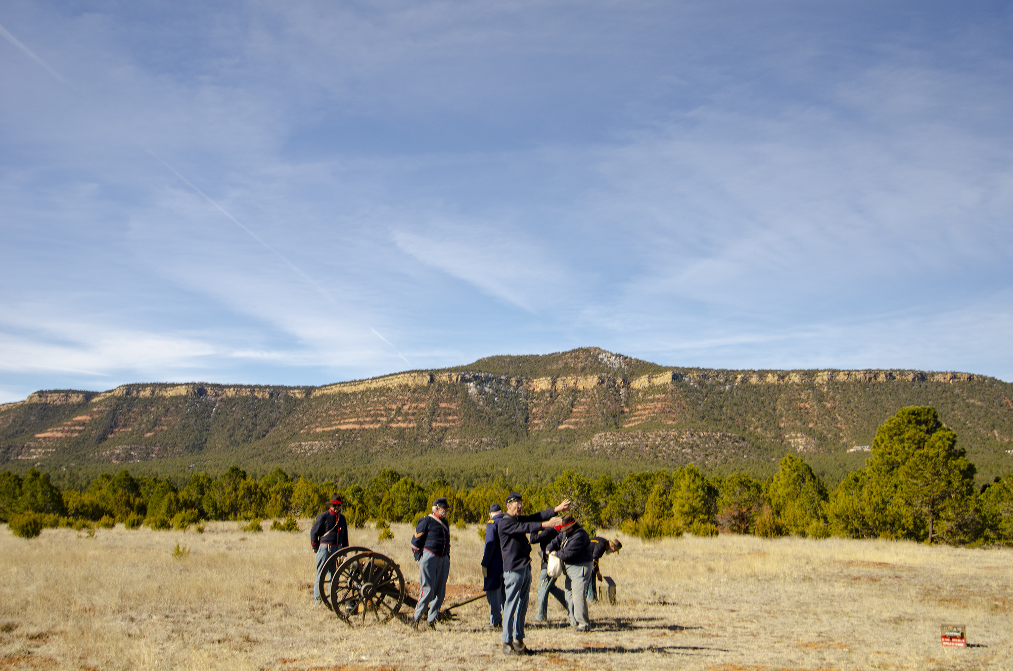
Glorieta pass...
 en.wikipedia.org
 www.nps.gov
The Battle of Glorieta Pass took place during the winter months of the year. At an elevation above 7,000 feet, hilly, rocky, and covered with forest, both sides dealt with cold, snow, altitude, and enclosed terrain.
Here the battle on the bridge...
 en.wikipedia.org
High Bridge, 2,500 feet (760 m) long and 126 feet (38 m) high, was the crossing of the South Side Railroad over the Appomattox River and its flood plain, 4 miles (6.4 km) northeast of Farmville, Virginia.[6] A wooden bridge for wagons was located below the railroad bridge. During the retreat of Confederate General Robert E. Lee's Army of Northern Virginia during the Appomattox Campaign, the Confederates had moved north of the river, except for a rear guard provided by Longstreet's First Corps at Rice's Station on the southern bank. The bridges had to be protected on April 6 and then destroyed on April 7 to delay the pursuit of the Confederates by the Union Army (Army of the Potomac, Army of the James and Army of the Shenandoah) under Lieutenant General Ulysses S. Grant.
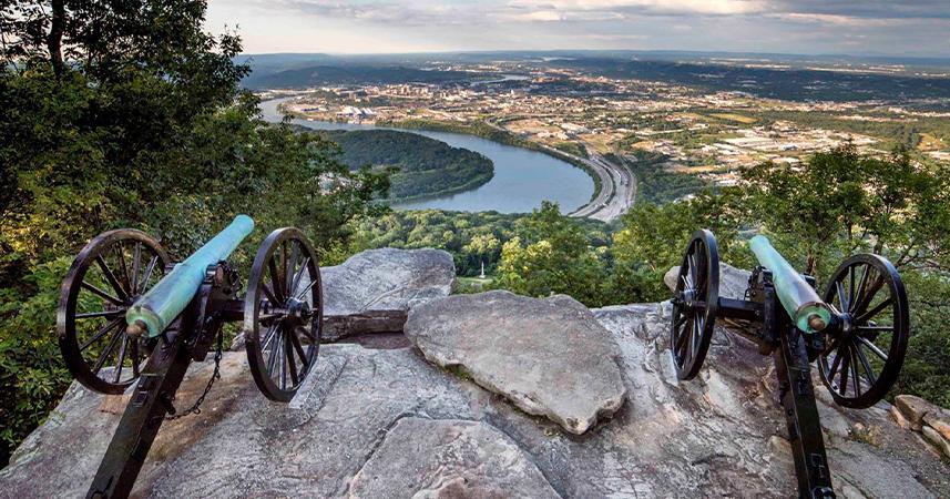
Here is a mountain...
 en.wikipedia.org
After their disastrous defeat at the Battle of Chickamauga, the 40,000 men of the Union Army of the Cumberland under Maj. Gen. William Rosecrans retreated to Chattanooga, Tennessee. Bragg's Army of Tennessee besieged the city, threatening to starve the Union forces into surrender. Bragg's troops established themselves on Missionary Ridge and Lookout Mountain, both of which had excellent views of the city, the Tennessee River flowing through the city, and the Union's supply lines. Lookout Mountain was actually a ridge or narrow plateau that extended 85 miles (137 km) southwest from the Tennessee River, culminating in a sharp point 1,800 feet (550 m) above the river. From the river the end of the mountain rose at a 45° angle and at about two thirds of the way to the summit it changed grade, forming a ledge, or "bench", 150–300 feet (50–90 m) wide, extending for several miles around both sides of the mountain. Above the bench, the grade steepened into a 500-foot (150 m) face of rock called the "palisades". Confederate artillery atop Lookout Mountain controlled access by the river, and Confederate cavalry launched raids on all supply wagons heading toward Chattanooga, which made it necessary for the Union to find another way to feed their men.[7]
Glorieta pass...
Battle of Glorieta Pass - Wikipedia
en.wikipedia.org
Battle of Glorieta Pass - Pecos National Historical Park (U.S. National Park Service)
Battle of Glorieta Pass
The Battle of Glorieta Pass took place during the winter months of the year. At an elevation above 7,000 feet, hilly, rocky, and covered with forest, both sides dealt with cold, snow, altitude, and enclosed terrain.
Here the battle on the bridge...
Battle of High Bridge - Wikipedia
en.wikipedia.org
High Bridge, 2,500 feet (760 m) long and 126 feet (38 m) high, was the crossing of the South Side Railroad over the Appomattox River and its flood plain, 4 miles (6.4 km) northeast of Farmville, Virginia.[6] A wooden bridge for wagons was located below the railroad bridge. During the retreat of Confederate General Robert E. Lee's Army of Northern Virginia during the Appomattox Campaign, the Confederates had moved north of the river, except for a rear guard provided by Longstreet's First Corps at Rice's Station on the southern bank. The bridges had to be protected on April 6 and then destroyed on April 7 to delay the pursuit of the Confederates by the Union Army (Army of the Potomac, Army of the James and Army of the Shenandoah) under Lieutenant General Ulysses S. Grant.
Here is a mountain...
Battle of Lookout Mountain - Wikipedia
en.wikipedia.org
After their disastrous defeat at the Battle of Chickamauga, the 40,000 men of the Union Army of the Cumberland under Maj. Gen. William Rosecrans retreated to Chattanooga, Tennessee. Bragg's Army of Tennessee besieged the city, threatening to starve the Union forces into surrender. Bragg's troops established themselves on Missionary Ridge and Lookout Mountain, both of which had excellent views of the city, the Tennessee River flowing through the city, and the Union's supply lines. Lookout Mountain was actually a ridge or narrow plateau that extended 85 miles (137 km) southwest from the Tennessee River, culminating in a sharp point 1,800 feet (550 m) above the river. From the river the end of the mountain rose at a 45° angle and at about two thirds of the way to the summit it changed grade, forming a ledge, or "bench", 150–300 feet (50–90 m) wide, extending for several miles around both sides of the mountain. Above the bench, the grade steepened into a 500-foot (150 m) face of rock called the "palisades". Confederate artillery atop Lookout Mountain controlled access by the river, and Confederate cavalry launched raids on all supply wagons heading toward Chattanooga, which made it necessary for the Union to find another way to feed their men.[7]
Last edited: